Are you looking for flight tracking data to build a virtual map or track flight location in real-time? You’ve reached your destination!
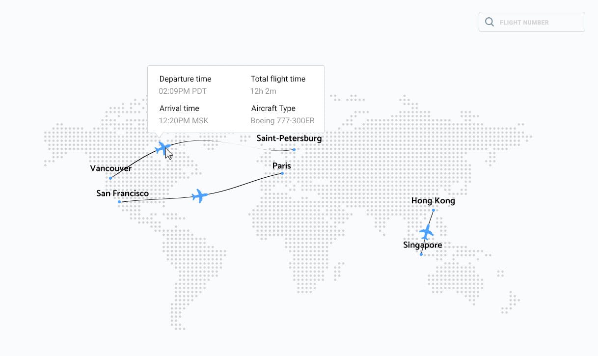
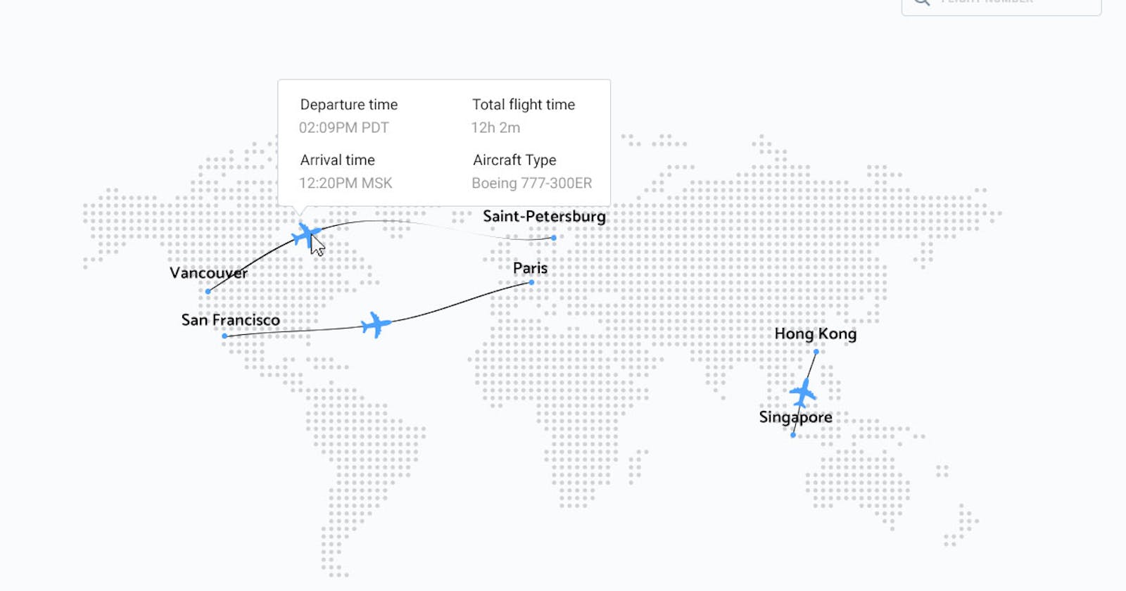
 The API is perfect for building virtual flight tracking maps.
In this article, we will explain how Aviation Edge Flights Tracker API is actually the only API you need for flight tracking data, plus it comes with many amazing features and various aviation API access you never knew you needed. How about the data quality, though? Well, the API was created for developers by developers, so nothing to worry about there!
Data Coverage, Quality, and Sources
The 3 most important questions for choosing the right API for you:
- Does the data cover my project’s requirements (region-wise+flight data details)?
- Is the data accurate/reliable?
- Where do they get the data from?
Let’s go over these questions:
Coverage: The API has coverage on a global scale. It mostly focuses on ADS-B airplanes which is the most common and advanced equipment found on planes that transmit location data. It also covers radar and MLAT airplanes when available.
It only covers general aviation flights which means passenger + cargo. Military flights are not covered. The details for each flight in the response include:
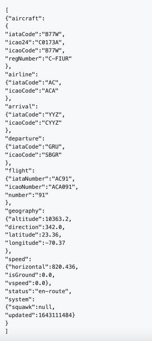
- Geography: Latitude, longitude, altitude and direction.
- Speed: Vertical and horizontal speed of the aircraft.
- Departure and arrival: IATA and ICAO codes of the departure and arrival airport.
- Aircraft: IATA and ICAO code of the airplane model + tail (registration) number.
- Flight: IATA and ICAO flight number.
- Airline: IATA code and ICAO code of airline.
- System information: Squawk, status and last updated time in epoch format.
Check out an example output from the API below:

Or visit the GitHub repo of the API:
Accuracy: The API updates around every 5 minutes which means you will get new location data as frequently. The update has a 99.8% uptime rate, so if your API client ever fails to return the requested data, you are having a very, very unlucky -maybe- 10 minutes. The response times are around 0.3 but may differ based on the amount of data requested in 1 API call.
The API is trusted by many big organizations from major airlines to government bodies among other over 6000 API users that include travel agencies, software companies, academics, airport operators, greeting service providers, independent developers, web designers, aviation enthusiasts, and more.
Sources: Aviation Edge aggregates the data from multiple sources, primarily its data partners and from official sources when available. This is because there cannot be one original source that can monitor airplane data all around the world from a single point, so this data needs to be collected and maintained. That is where we come in. We aggregate this collected data on our servers and provide it to our clients with the convenience of JSON REST APIs.
Conclusion — “Looks good! How Can I Start?”
The Flight API you are looking for with all the optimal features possible — does exist. And it is very easy to access!

Simply create an API subscription here, get your API key in your email, and start requesting the API. The API key is valid for as long as the API subscription is active, just like all online subscription-based services. The first month comes at a reduced rate starting at $5 for testing. Don’t worry though, you get access to the complete Premium features even during the first month. It is possible to upgrade, downgrade or cancel your subscription anytime without commitments, so nothing to lose.
Contact: Feel free to contact the team anytime. We are always happy to hear about your projects and exchange ideas about how our data can be an asset for you!
We are new on social media. Follow us everywhere! linktr.ee/AviationEdgeAPI
